Park Estate – Abode of the Great-Great-Great Grandfather of Maps
Maps is part of our everyday lives now, but few of us know where the story of map-making in India truly began.
Mount Everest, the world’s tallest peak, is named after George Everest — a fitting tribute to a man whose pioneering work became the foundation for all the maps we use today, both physical and digital.
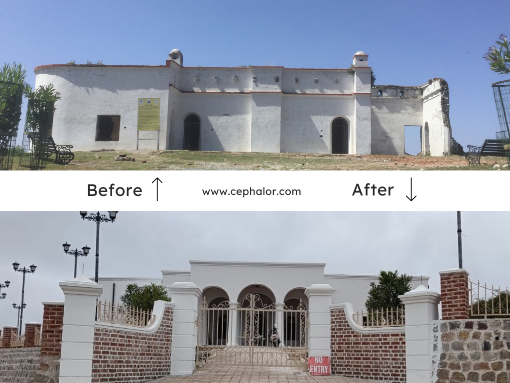
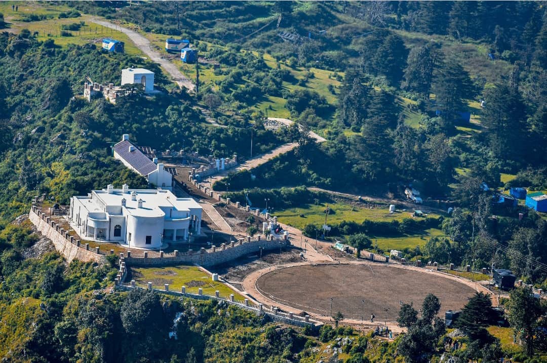
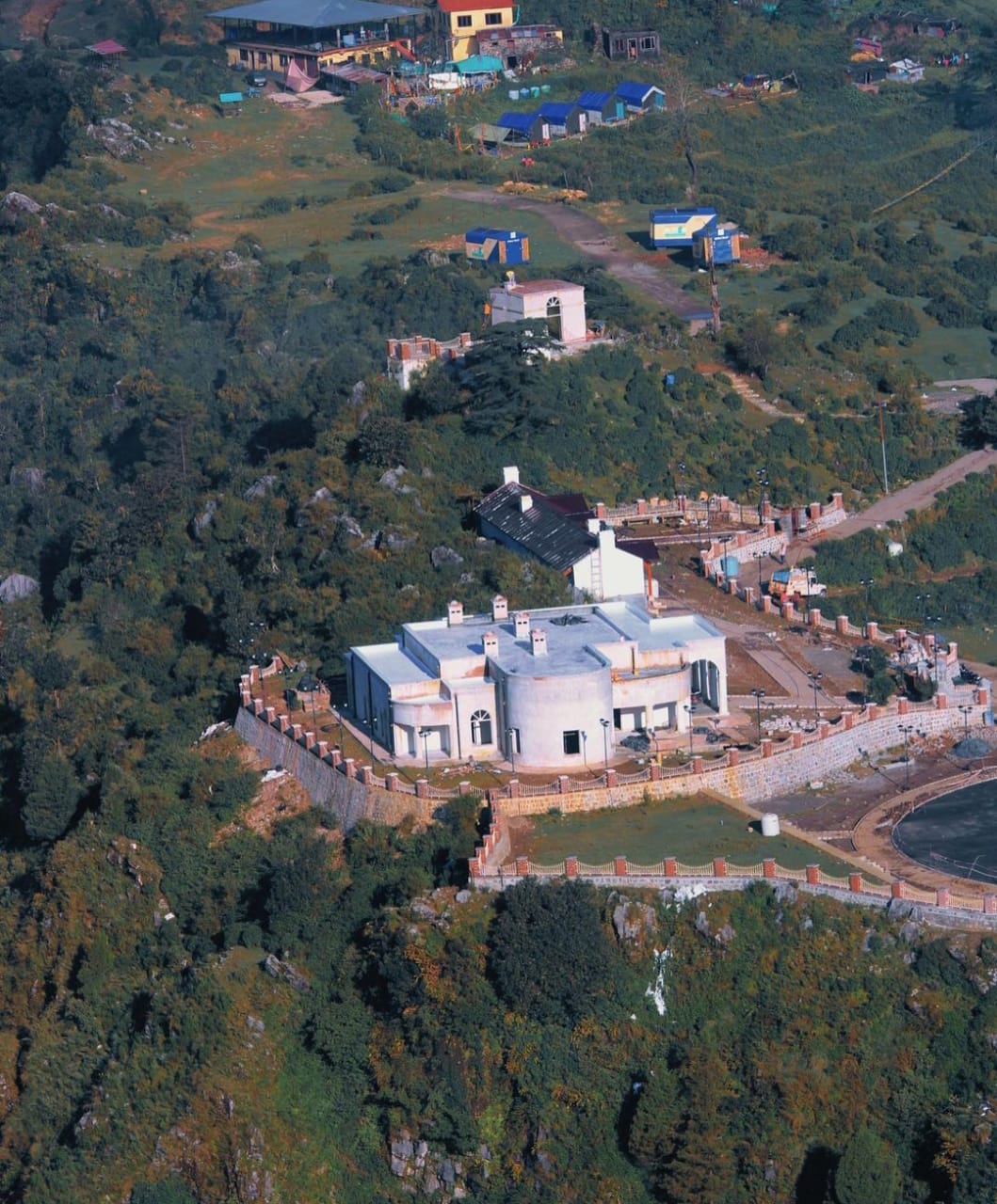
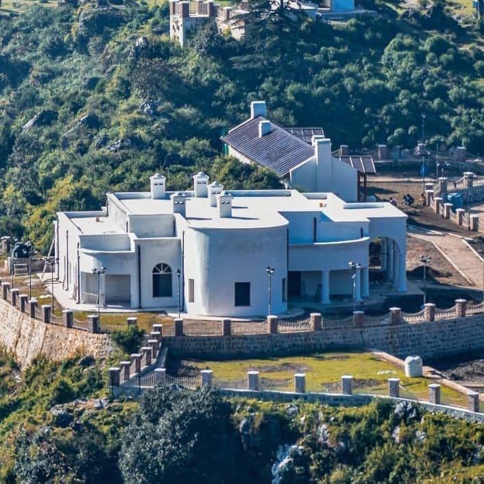
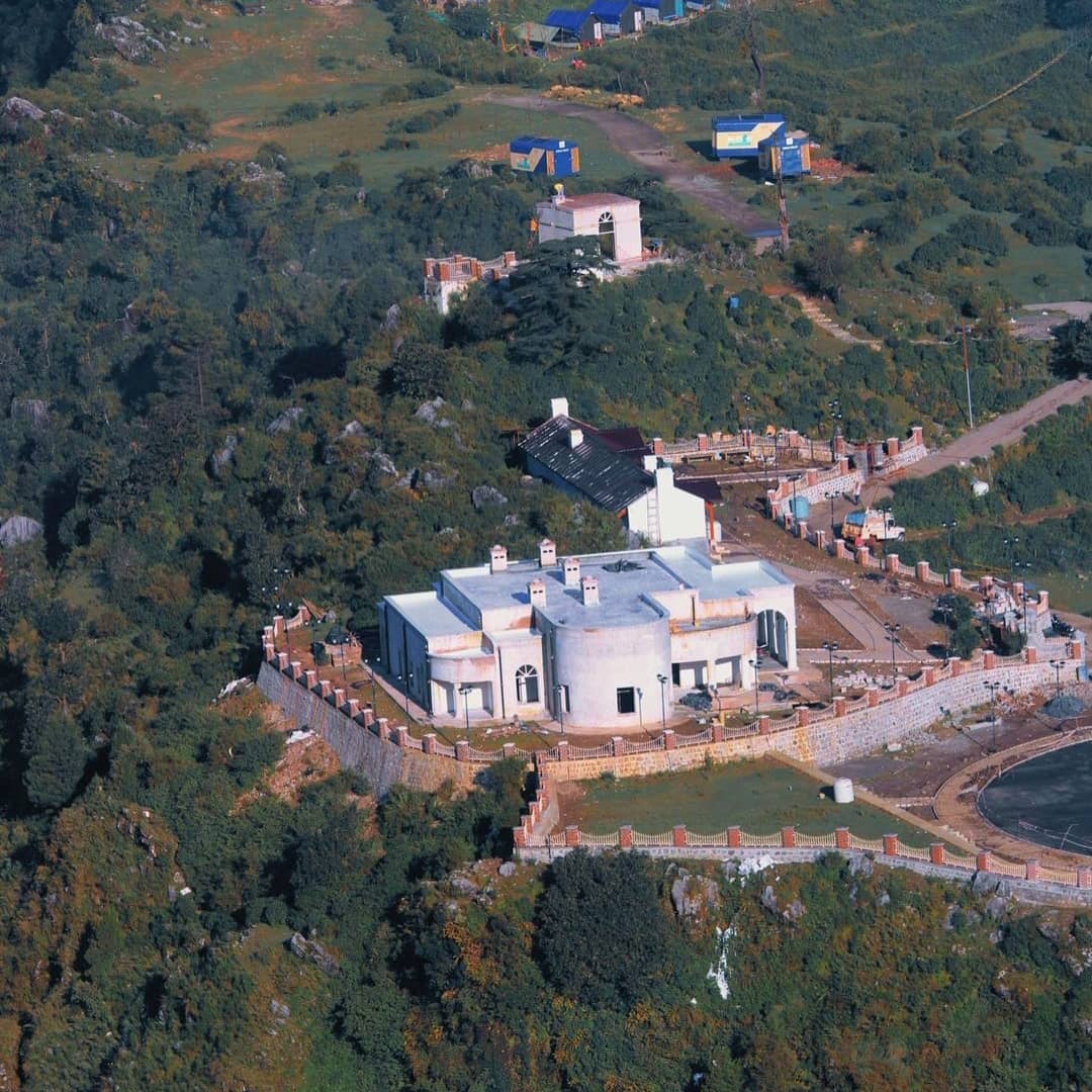
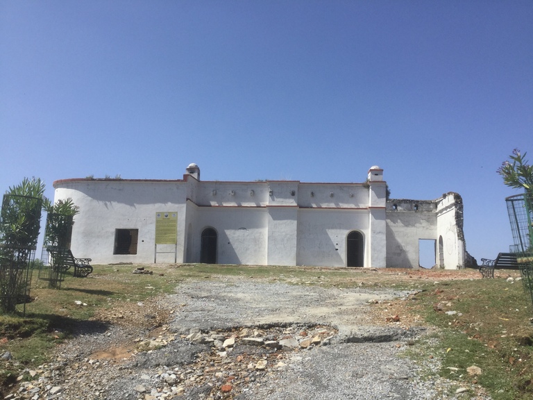
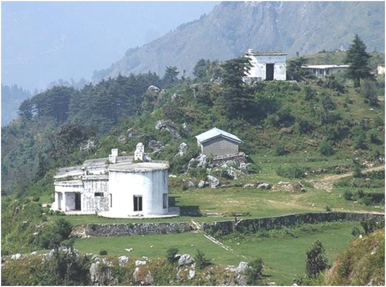
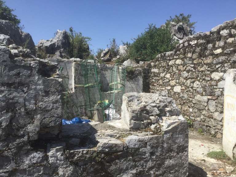
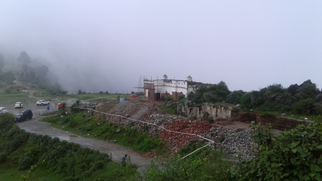
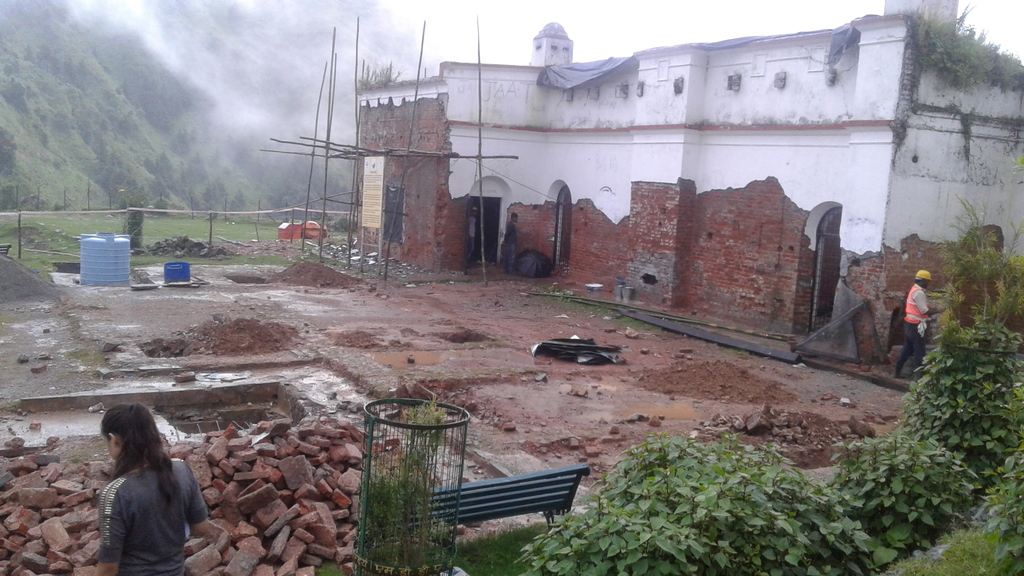
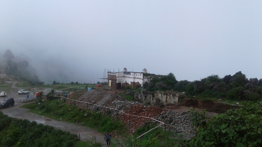
Perched on a windswept ridge just a stone’s throw from the bustling hill town of Mussoorie lies Park Estate — the former residence and office of Sir George Everest. As Surveyor General of India from 1830 to 1843, Everest used this very spot to compile field survey data, calculate measurements, and draw detailed maps that outlined the vast boundaries of British India.
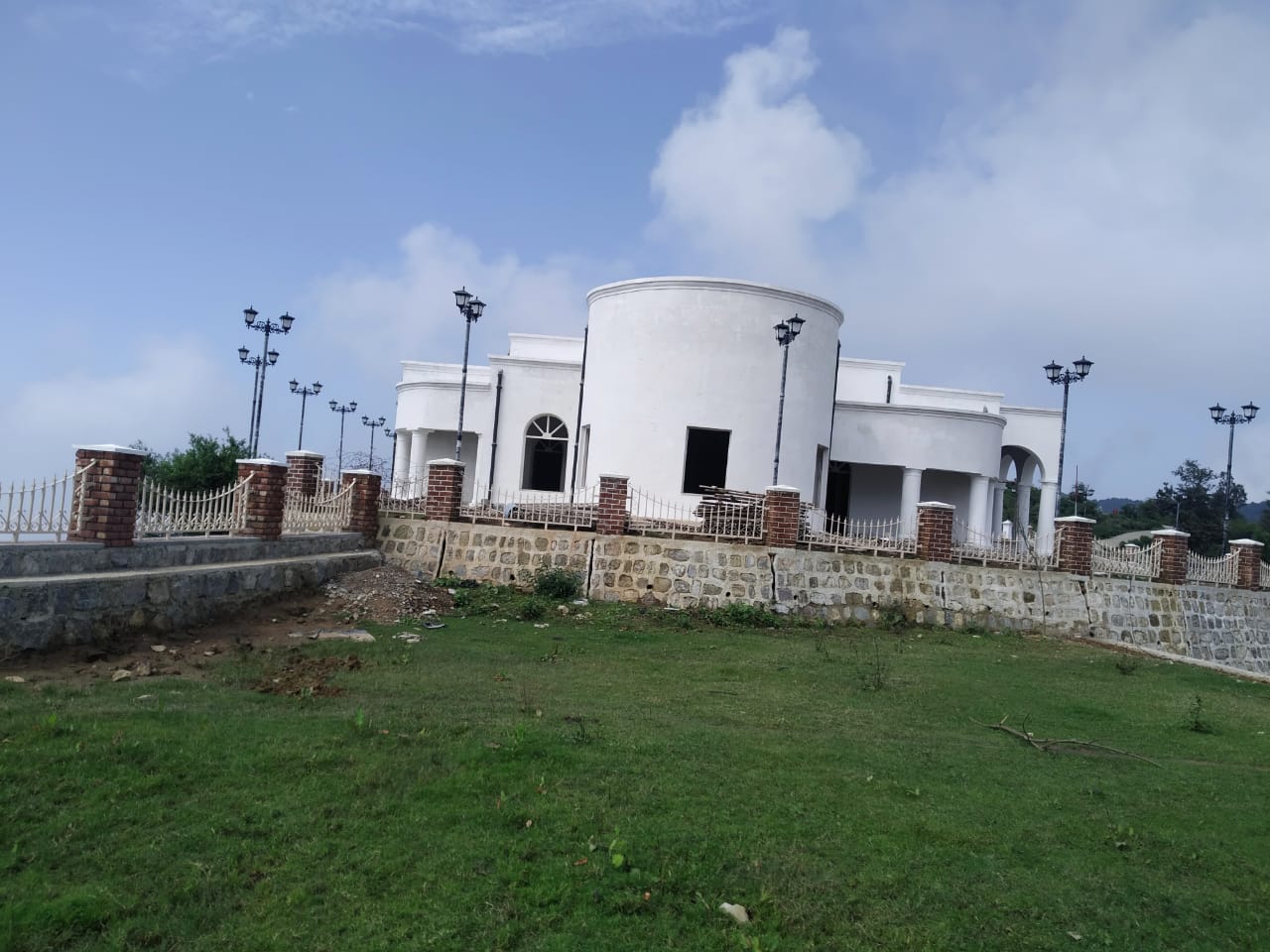
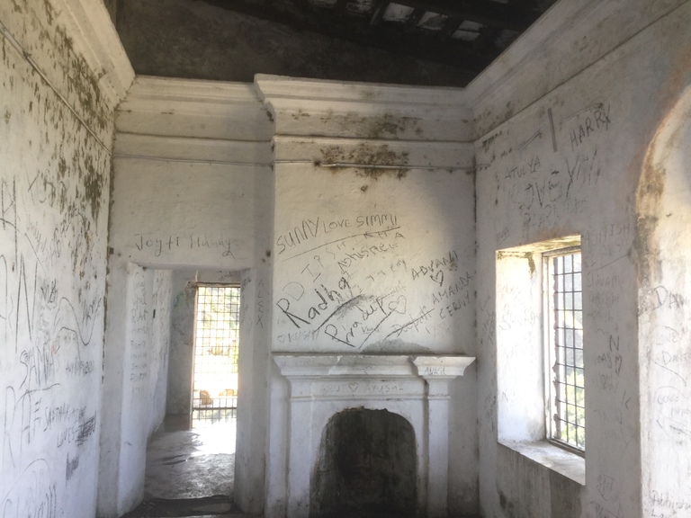
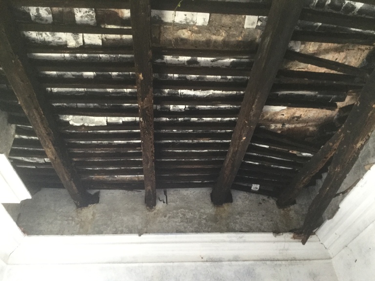
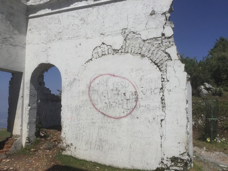
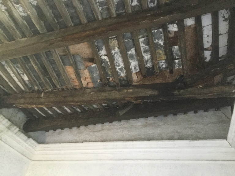
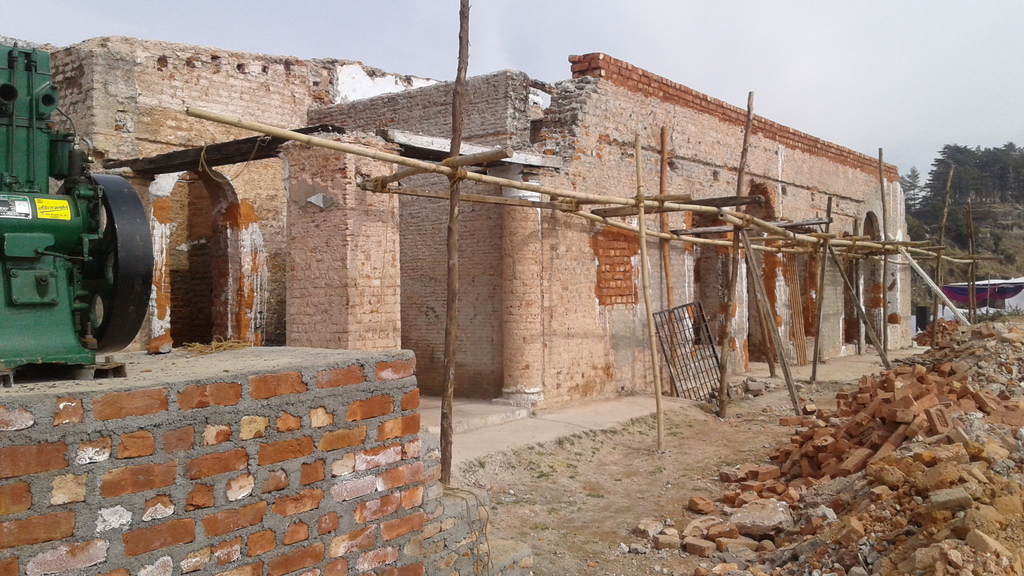
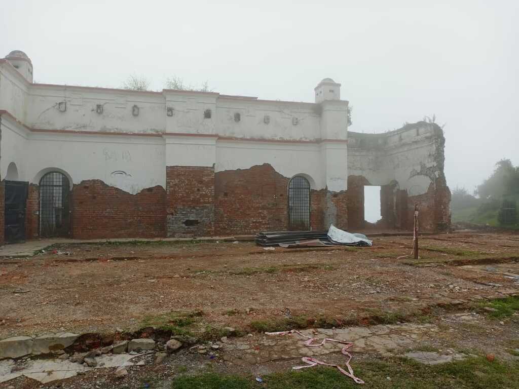
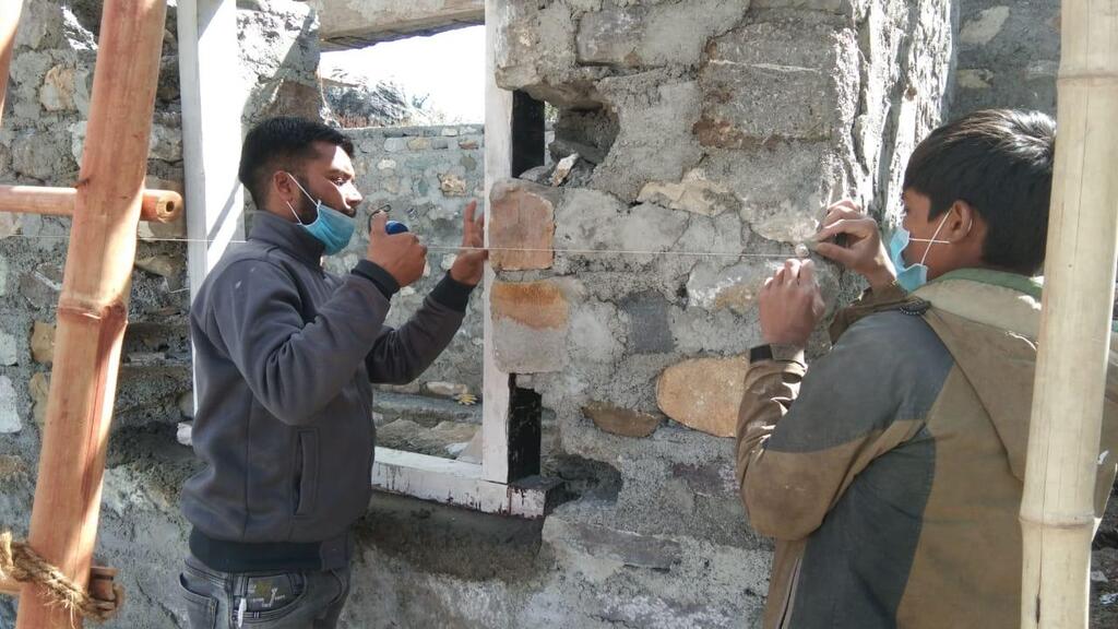
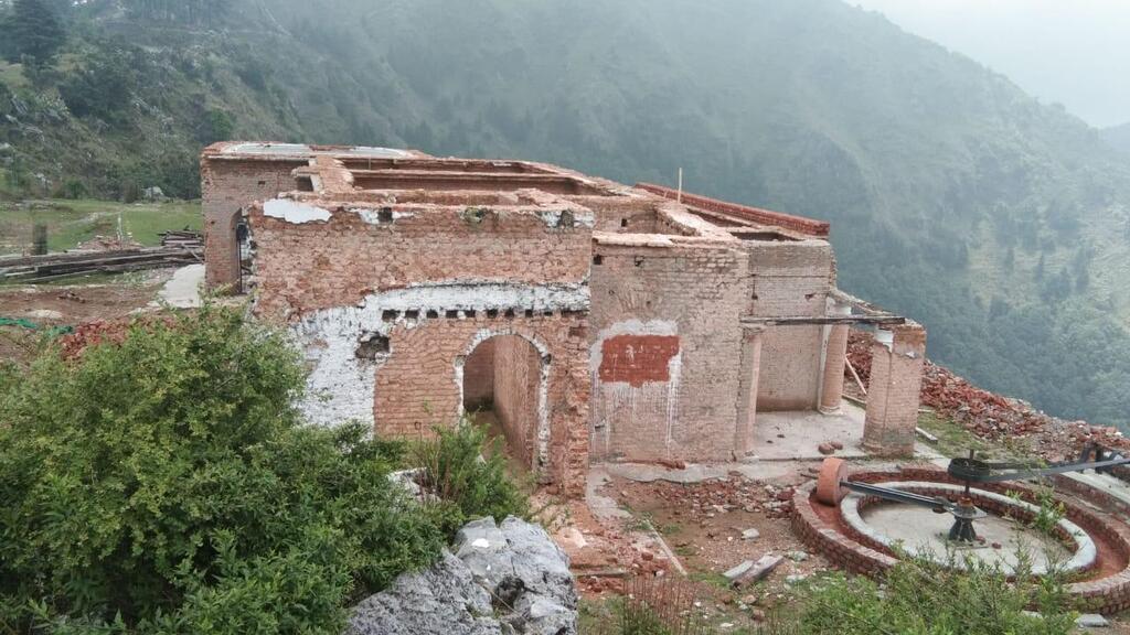
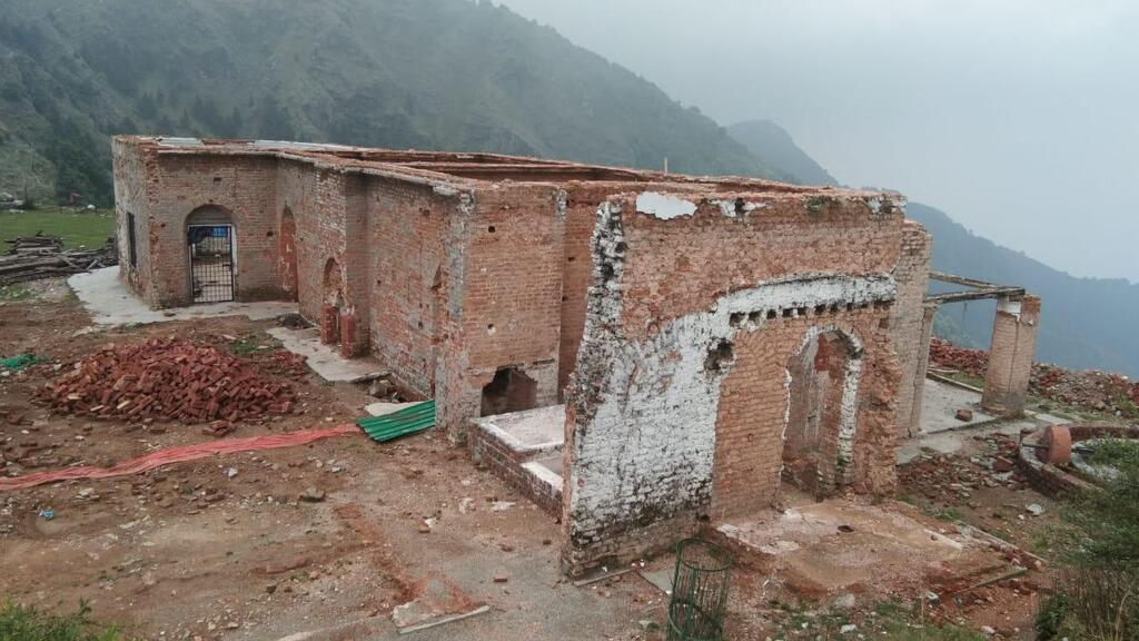
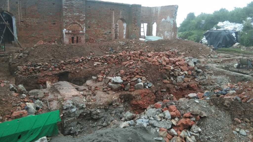
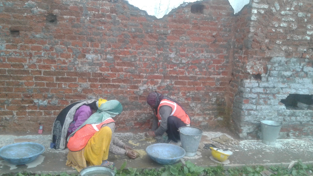
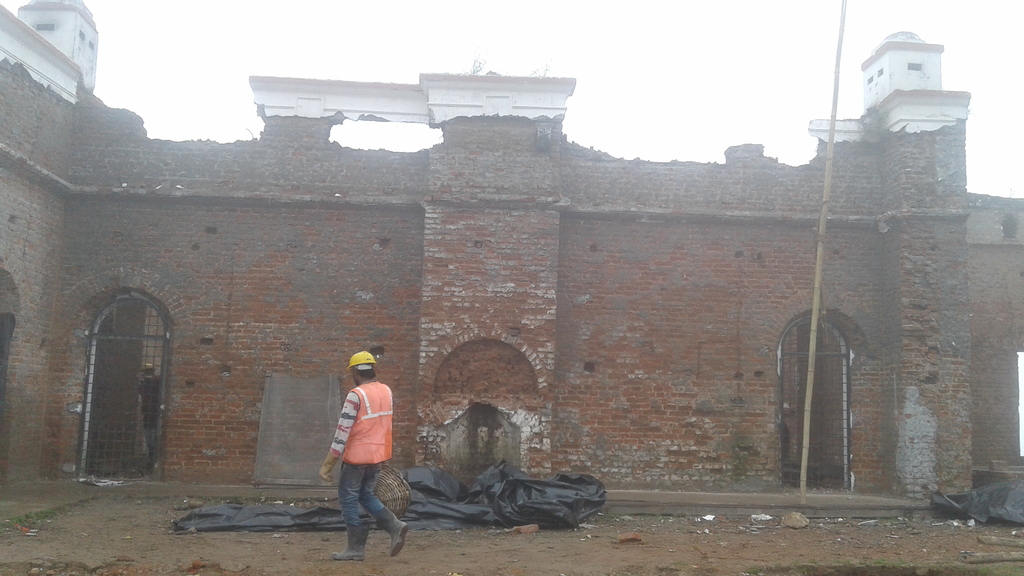
Over the decades, the 200-year-old building fell into neglect and was heavily vandalized — by the time restoration efforts began in 2019, supported by the Uttarakhand government and the Asian Development Bank (ADB), only half of the original structure was left standing.
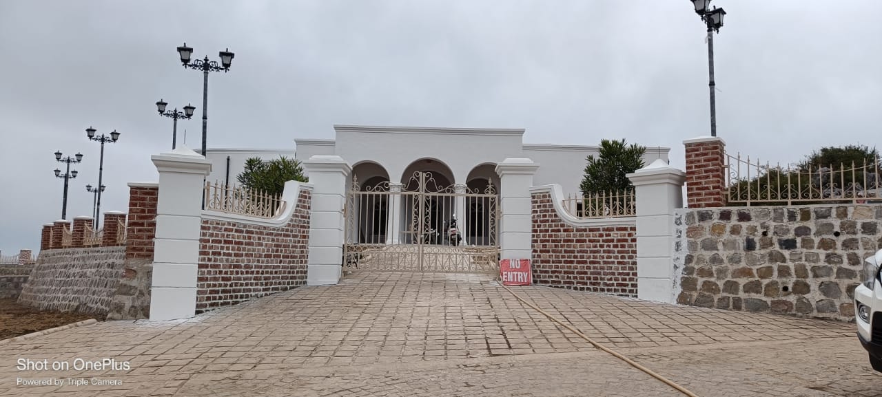
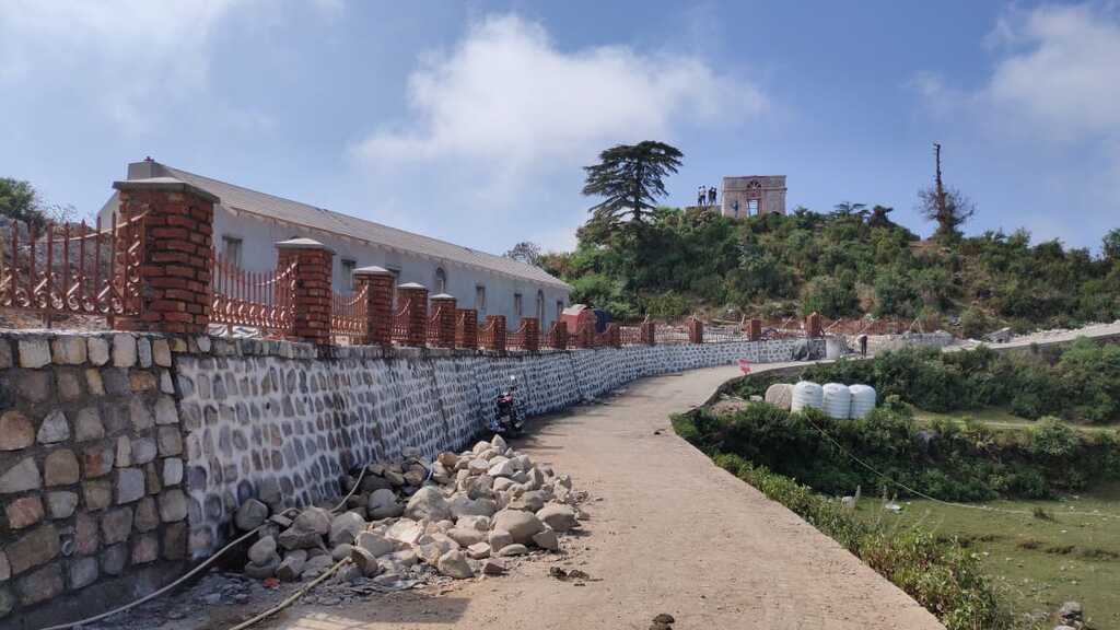
Today, Park Estate has been lovingly restored into a museum. Using traditional materials and age-old building techniques, it has been brought back to life, offering visitors a glimpse into the birthplace of Indian cartography — and, in a way, the ancestor of the navigation tools we can’t live without today.